TITAN
Mobile LIDAR
Scanner
TITAN Mobile LIDAR Scanner
Mobile laser systems use a GPS-IMU (global positioning system – inertial measurement unit) combined solution to help track where the LIDAR scanners are located while they are operating during data acquisition. LIDAR processing software is then used with GPS collected data (from a GPS unit setup over top of known high precision point) to calculate the spatial locations of each LIDAR point located within the point cloud that represents 3D real world objects.
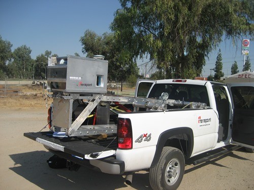
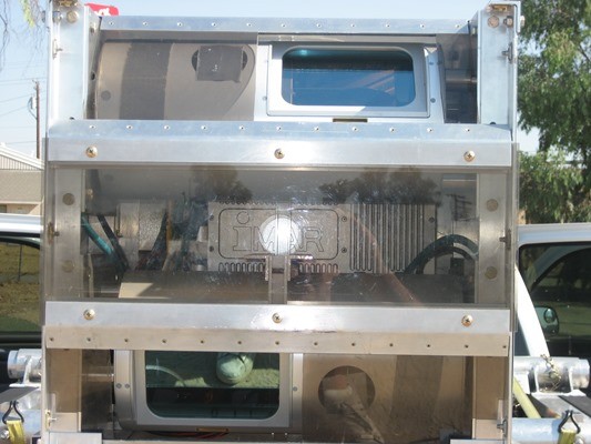
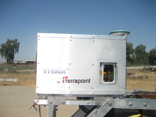
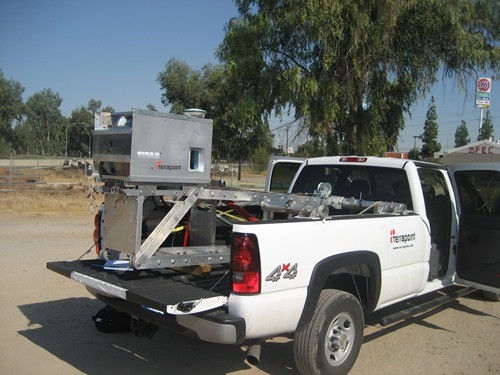
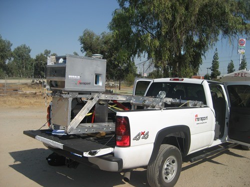
The TITAN mobile laser scanning system is a custom made robust vehicle mounted mobile scanning solution. The TITAN system incorporates an array of 4 separate Riegl laser scanners to provide a 360 degree field of view. The laser scanners are combined with a GPS unit and a high accuracy aviation grade IMU, then mounted inside a custom pod and raised 12 feet in the air using a heavy duty custom made scissor-lift style boom. The mobile scanning unit can be operated from within the moving vehicle and collects over 50 points per square meter while moving at speeds of 70-80 km/hr (slower speeds produced more points).
I have been operating and managing LIDAR projects using the TITAN mobile laser scanning system for over two years now, in a variety of projects from coast to coast (and hope to include some info on these trips and some sample sample data screen shots soon).
Post Your Geo Resume and Browse Canadian GIS Jobs



![PCI EASI Script [PIX_to_SHP_batch_export.eas] PCI geomatics](https://tmackinnon.com/wp-content/uploads/PCI-geomatics-150x150.png)