Color Shaded Relief Models – Makkovik, Labrador
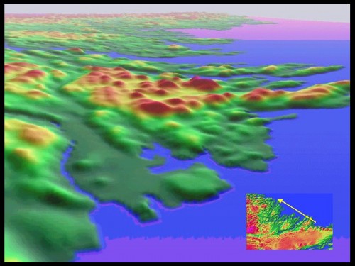
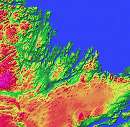
Color Shaded Relief Models of Makkovik, Labrador Color Shaded Relief Models of Makkovik, Labrador

The above images are color shaded relief models that I created with a DEM of Makkovik, Labrador. These were part of a data integration project that I was involved with during my intense Remote Sensing training at the Center of Geographic Sciences (COGS) in Nova Scotia. the Makkovik region is a coastal area along the eastern coast of northern Canada that is rich with geologic outcrops.
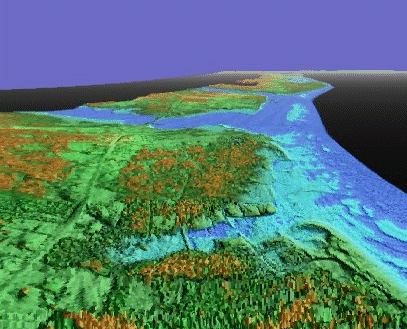
Color Shaded Relief Models – Cap Pele, New Brunswick

Color Shaded Relief Models of Cap Pele, New Brunswick Color Shaded Relief Models of Cap Pele, New Brunswick

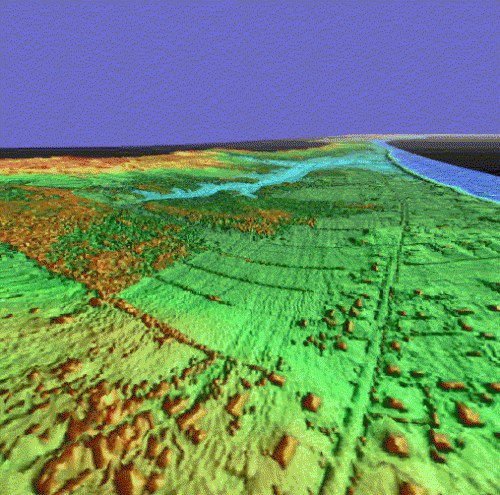
The two images above represent artificial three dimensional perspective views perspective views from different points of origin featuring color shaded relief models that were created from high resolution LIDAR digital surface models as part of a LIDAR flood modeling graduate research project.

The study area for the project consisted of the coastal Gulf Shore region of southeastern New Brunswick from Kouchibouguac National Park south to Jourimain Island (location of the Confederation Bridge). The coastal zone of New Brunswick is a picturesque fishing region that boasts several kilometers of sandy beaches with some of the warmest salt water temperatures north of Virginia.