Bouctouche New Brunswick LIDAR
I created and presented the following poster displaying LIDAR CSR surface modeling of Bouctouche, New Brunswick as part of my Applied Geomatics graduate work at COGS in 2004.
I created and presented the following poster displaying LIDAR CSR surface modeling of Bouctouche, New Brunswick as part of my Applied Geomatics graduate work at COGS in 2004.
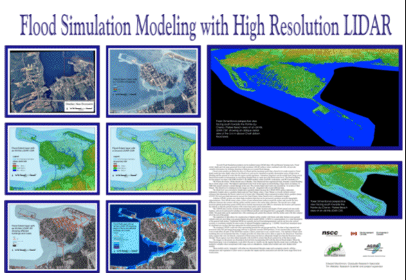
I created and presented the following poster that summarized my Flood Simulation Modeling with High Resolution LIDAR project as part of my Applied Geomatics graduate work at COGS in 2004. The areas in the poster are of Shediac & Parlee Beach, New Brunswick

