Scroll to next section Scroll to next section

GPS data
collection of
Jeremys Bay
Campground

  • Home
  • GIS
  • Cartography
  • Remote Sensing
  • LiDAR
  • Geomatics Resources
  • Canadian Open Data

GPS data collection of Jeremys Bay Campground - Map showing GPS data collected in 2003 at Jeremys Bay Campground, Kejimkujik National Park and Historic Site

GPS data collection of Jeremys Bay Campground

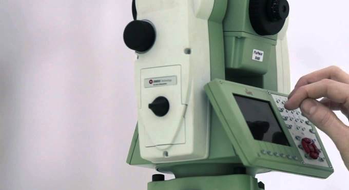
Screen shot of a poster created of Jeremys Bay Campground Kejimkujik National Park and Historic Site in Nova Scotia. It was created with ArcMap 9 from data we collected with a Leica RTK GPS & Total Station.


Download Canadian OpenData from over 100 different Sources

Post Your Geo Resume and Browse Canadian GIS Jobs

Share this entry
  • Share on Facebook
  • Share on X
  • Share on Pinterest
  • Share on LinkedIn
  • Share on Reddit
  • Share by Mail

More Geospatial Resources

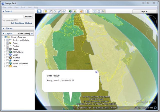
Time Zones in Google Earth

Google Earth Time Zones Clock

March 21, 2022
Read more
https://tmackinnon.com/wp-content/uploads/Time_Zones_Google_Earth.jpg 449 640 Ted MacKinnon https://tmackinnon.com/wp-content/uploads/tmackinnon_2022_4.png Ted MacKinnon2022-03-21 15:16:272022-03-21 15:29:20Google Earth Time Zones Clock
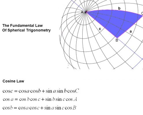
Converting Decimal Degrees to Degrees Minutes Seconds

Converting Decimal Degrees to Degrees Minutes Seconds

December 29, 2017
Read more
https://tmackinnon.com/wp-content/uploads/slide_9.jpg 720 960 Ted MacKinnon https://tmackinnon.com/wp-content/uploads/tmackinnon_2022_4.png Ted MacKinnon2017-12-29 08:36:272018-12-17 13:43:22Converting Decimal Degrees to Degrees Minutes Seconds
Viva TS15 - Leica Total Stations

Manuals for Leica Total Stations

February 1, 2015
Read more
https://tmackinnon.com/wp-content/uploads/Viva-TS15-Leica.jpg 371 680 Ted MacKinnon https://tmackinnon.com/wp-content/uploads/tmackinnon_2022_4.png Ted MacKinnon2015-02-01 10:07:342019-12-13 20:49:09Manuals for Leica Total Stations
Page 1 of 512345
Generic selectors
Exact matches only
Search in title
Search in content
Post Type Selectors
Filter by Categories
2004 NB LIDAR project
3D Images
3D Modeling
AGRG
Arizona
Awards
Canada
Cartography
Central America
Data Integration
Digital Elevation Models
EASI Scripts
ERDAS
Flood Modeling
GIS
GPS
Granada
Image Gallery
International Travel
LIDAR
Managua
Masaya
Mobile Mapping
New Brunswick
Newfoundland
Nicaragua
North West Territories
Northern Ontario
Nunavut
Ontario
Other
Past Projects
PCI Geomatica
photogrammetry
Publications
RADARSAT
Remote Sensing
Resources
Rio Blanco
RS Software
Satellites
Spatial Modeling
Terrain Analysis
TITAN
Travel Blog
USA
Washington - DC
Web Sites Portfolio
Free Canadian Geospatial Resources
Download Canadian Open Data
Browse Canadian GIS Jobs
Canadian Geomatics News

Remote Sensing

  • Advocate Harbour Color Shaded Relief Map
    Advocate Harbour Color Shaded Relief MapJune 15, 2015 - 2:01 PM
  • Geomatics Acronyms and Abbreviations
    Geomatics Acronyms and AbbreviationsMay 30, 2014 - 6:44 AM
  • 3D Modeling with High Resolution LIDAR
    3D Modeling with High Resolution LiDARApril 24, 2014 - 1:42 PM
  • Color shaded reliefs utilize chromo stereoscopic techniques to help emphasize the depth of the Z dimension from traditional DEMs
    Color Shaded Relief ModelsJuly 3, 2012 - 9:31 AM

Cartography

  • Converting Decimal Degrees to Degrees Minutes Seconds
    Converting Decimal Degrees to Degrees Minutes SecondsDecember 29, 2017 - 8:36 AM
  • Advocate Harbour Color Shaded Relief Map
    Advocate Harbour Color Shaded Relief MapJune 15, 2015 - 2:01 PM
  • map showing UTM zones in Canada
    UTM Rows and ZonesFebruary 17, 2014 - 9:28 AM
  • Canadian using a UTM map
    Converting between UTM, MTM and LAT/LONGJuly 5, 2013 - 11:42 AM
Proud Supporter of the Royal Canadian Geographical Society
Proud to be a member of the Royal Canadian Geographical Society's College of Fellows

GIS

  • Time Zones in Google Earth
    Google Earth Time Zones ClockMarch 21, 2022 - 3:16 PM
  • Converting Decimal Degrees to Degrees Minutes Seconds
    Converting Decimal Degrees to Degrees Minutes SecondsDecember 29, 2017 - 8:36 AM
  • Geomatics Acronyms and Abbreviations
    Geomatics Acronyms and AbbreviationsMay 30, 2014 - 6:44 AM
  • Spatial Database Modeling of forest stands in Kejimkujik National Park
    Geomatics – GIS data base modelingMarch 5, 2014 - 11:30 AM
© Copyright tmackinnon.com
  • Link to X
  • Link to Instagram
  • Link to LinkedIn
  • Link to Facebook
  • Link to Pinterest
  • Link to Youtube
  • Link to Rss this site
  • Home
  • GIS and Geomatics
  • Contact
Link to: GIS Mobile Mapping with ArcPad Link to: GIS Mobile Mapping with ArcPad GIS Mobile Mapping with ArcPadGIS Mobile Mapping with Trimble handheld GPS & ArcPad Link to: CCAF LIDAR Validation Map Link to: CCAF LIDAR Validation Map CCAF LIDAR GPS ValidationCCAF LIDAR Validation Map
Scroll to top Scroll to top Scroll to top