Canadian Geomatics
GIS, Cartography, LiDAR, Remote Sensing, Surveying, and Geographic Information
GIS, Cartography, LiDAR, Remote Sensing, Surveying, and Geographic Information
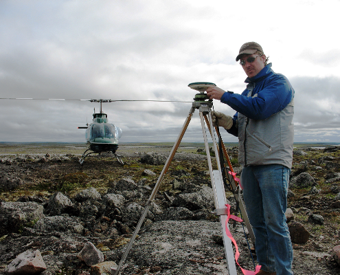
My name is Ted MacKinnon, a geomatics specialist with over 20 years experience. I originally created this site to be my geomatics portfolio and as a way to have my resume visible online 24-7, but over time it has morphed into an online geospatial web resource where I share knowledge about geographic information and geospatial resources gained through experience that I have obtained over the years.
During my career I have been fortunate enough to work in many geomatics related disciplines, which has provided me with a wide range of experiences and knowledge of the Canadian Geomatics Sector. Everything fro basic cartographic map design to processing LiDAR and aerial photography data.
Living in a rural Canadian environment, although great for enjoying an easy going laid back lifestyle, can sometimes have its drawbacks, such as staying informed on what is currently happening in Canadian Geomatics. However thanks to the evolution of technology, the internet, social media and extensive networking through professional associations, I have not only been able to stay current with geomatics information, but also become known as an influencer in the Canadian geospatial community.
This site is intended to allows others to learn a little more about myself, my work and my passion for geomatics. Therefore I encourage people to browse the various geospatial related content on my site and connect with me on the social media. Together we make the geospatial community stronger.
Below are some of the pages from the site loaded randomly, use the search tool above to search for more specific content.
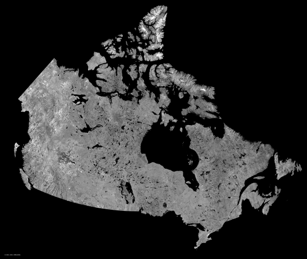
Cartography is the practice of creating maps or visual representations of geographic areas. Traditionally maps have always been created on paper, but since the wide spread use of geographic information systems (GIS), maps have evolved more into digital formats.
GIS, an essential tool for urban and resource planning, allows people to solve and model real world situations by incorporating spatial and tabular data, and has become an essential cartographic tool.
Remote sensing is the process of acquiring information about an object without making any actual physical contact with it. Remote sensing is vital to numerous fields, including geography, surveying and most Earth Science related disciplines.
LiDAR, a specialized remote sensing technique uses high precision GPS with an inertial measurement unit (IMU) to determine accurate location. The resultant measurements consist of geographic locations that can be further processed to produce many different spatial data products.
Surveying uses techniques of determining terrestrial positions of points on the Earth’s surface, and the distances and angles between them, to establish maps and boundaries. A global positioning system (GPS) is a highly accurate navigation system that uses satellites and established control points to determine accurate locations.
The surveying and mapping community was one of the first to take advantage of GPS technology to it dramatically increase productivity, resulting in more accurate and reliable data.