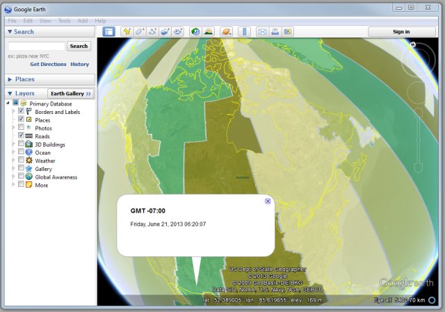
 https://tmackinnon.com/wp-content/uploads/Time_Zones_Google_Earth.jpg 449 640 Ted MacKinnon https://tmackinnon.com/wp-content/uploads/tmackinnon_2022_4.png Ted MacKinnon2022-03-21 15:16:272022-03-21 15:29:20Google Earth Time Zones Clock
Real Time Kinematic (RTK) surveying
Over the past decade Real Time Kinematic (RTK) surveying with Global Navigation Satellite Systems (GNSS) has become common practice in geomatics. RTK surveying can allow people to achieve relative positioning with centimetre (cm) precision, however there are several important factors that need to be considered and thus a need for a good guide of best practices (equipment calibration, errors, multipath, geometry, etc.).
Therefore Natural Resources Canada (NRCan) put together a new set of guidelines for Real Time Kinematic (RTK) Surveying.
You can view the 29 page PDF document below or download a copy with the following link
http://www.nrcan.gc.ca/sites/www.nrcan.gc.ca/files/earthsciences/pdf/Canada-RTK-UserGuide-v1_1-EN.pdf [Run into any problems with this file, let me know and I can send you a copy]
[You can also find more info about RTK surveying my other website]
Post Your Geo Resume and Browse Canadian GIS Jobs
More Geospatial Resources
 https://tmackinnon.com/wp-content/uploads/Time_Zones_Google_Earth.jpg 449 640 Ted MacKinnon https://tmackinnon.com/wp-content/uploads/tmackinnon_2022_4.png Ted MacKinnon2022-03-21 15:16:272022-03-21 15:29:20Google Earth Time Zones Clock
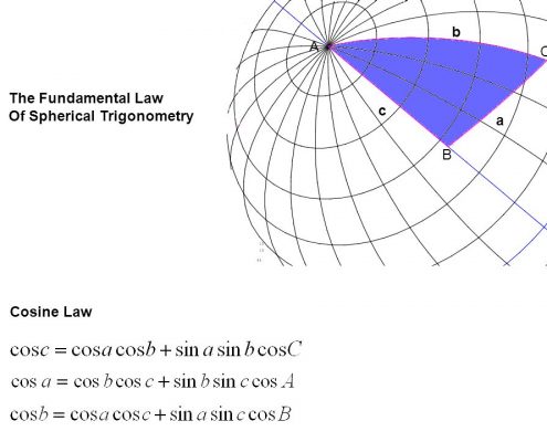
 https://tmackinnon.com/wp-content/uploads/slide_9.jpg 720 960 Ted MacKinnon https://tmackinnon.com/wp-content/uploads/tmackinnon_2022_4.png Ted MacKinnon2017-12-29 08:36:272018-12-17 13:43:22Converting Decimal Degrees to Degrees Minutes Seconds
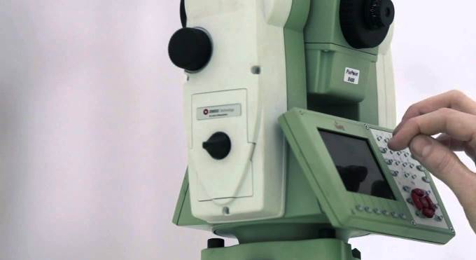
 https://tmackinnon.com/wp-content/uploads/Viva-TS15-Leica.jpg 371 680 Ted MacKinnon https://tmackinnon.com/wp-content/uploads/tmackinnon_2022_4.png Ted MacKinnon2015-02-01 10:07:342019-12-13 20:49:09Manuals for Leica Total Stations
