3D Perspective View Samples
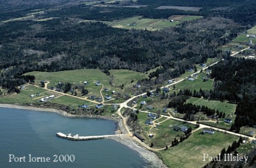
[*image source: PaulIllsley.com]
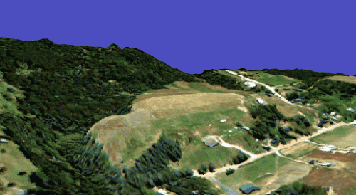
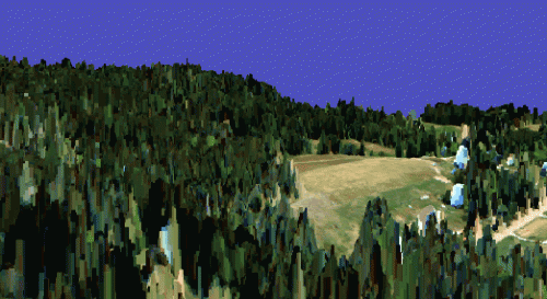
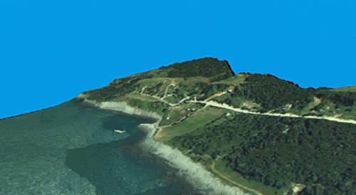
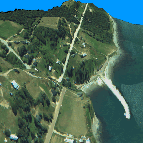
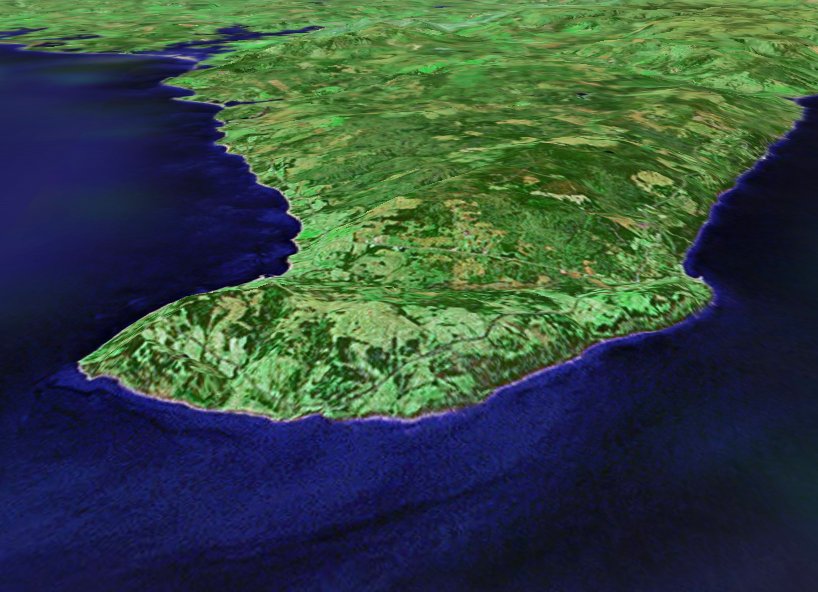
The following images are examples of perspective view models that were generated from a 2 meter LIDAR DEM integrated with 50 cm digital orthophotography of Port Lorne, Nova Scotia. Port Lorne is a coastal community along the Bay of Fundy with a relatively steep terrain so the images represent different perspective views depending on the source of origin and the direction that they are facing.
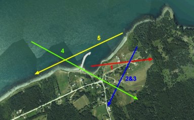
The colored arrows on the key image to the right represent the different perspective views that were generated from different locations and viewed along different directions (displayed in the images below). This image of the area also represents the traditional GIS view from above, as discussed above.
The first image below represents a perspective view (red arrow) of the area if it were viewed from the center of the image, above the wharf looking in an easterly direction.
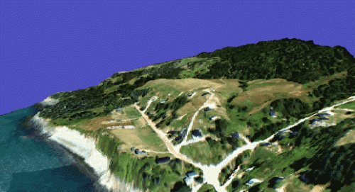
The next two images below represents a perspective view (blue arrow) of the area if it were viewed from the upper right hand corner of the original image in a south west direction. The images that demonstrate the same perspective but have different types of LIDAR DEMs integrated with them allowing them to portray different data within them.
